Calgary Heritage
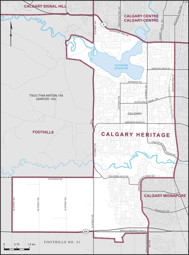
Boundaries description
Consisting of that part of the City of Calgary lying westerly and southerly of a line described as follows: commencing at the intersection of the southerly limit of said city with Spruce Meadows Way SW; thence northerly along said way and northerly and easterly along James McKevitt Road SW to Macleod Trail S; thence northerly along said trail to Glenmore Trail SW (Highway No. 8); thence westerly and generally northwesterly along said trail to 37 Street SW; thence southerly along said street to the westerly limit of said city.