Edmonton Mill Woods
Boundaries description
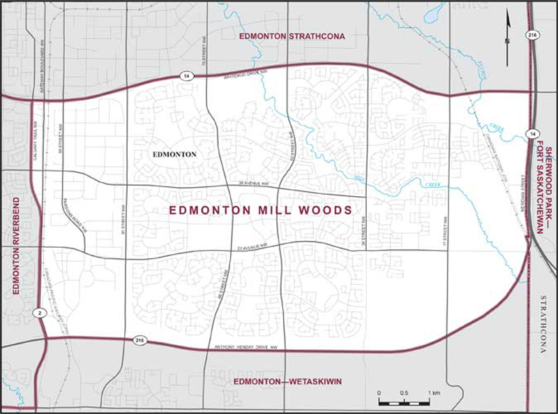
Consisting of that part of the City of Edmonton described as follows: commencing at the intersection of the easterly limit of said city with Whitemud Drive NW (Highway No. 14); thence generally westerly along said drive to Calgary Trail NW (Highway No. 2); thence southerly along said trail to Anthony Henday Drive NW (Highway No. 216); thence easterly and northeasterly along said drive to the easterly limit of said city; thence generally northerly along said limit to the point of commencement.