

Map
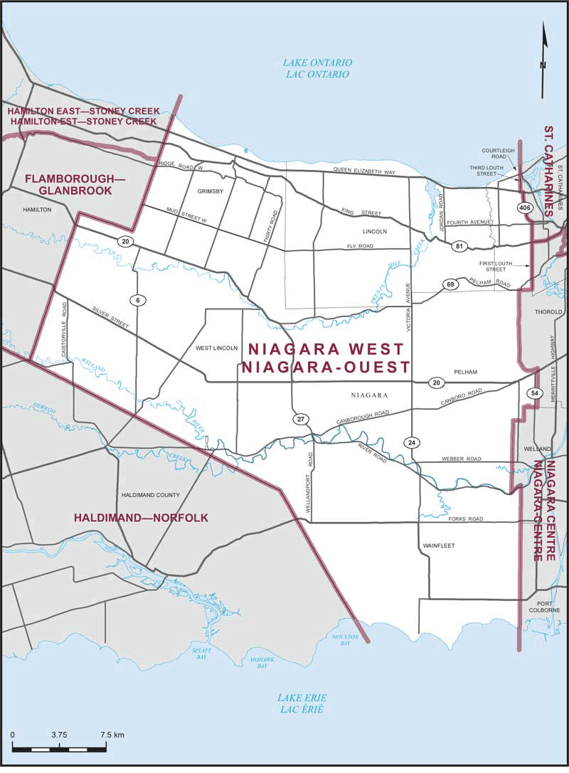
Niagara West (Ontario)
 Download the detailed map in PDF format
Boundaries description
Consisting of that part of the Regional Municipality of Niagara comprised of:
- (a) the towns of Grimsby, Lincoln and Pelham;
- (b) the townships of West Lincoln and Wainfleet; and
- (c) that part of the City of St. Catharines lying westerly of a line described as follows: commencing at the intersection of the northerly limit of said city with the production of Courtleigh Road; thence southerly along said production, Courtleigh Road, and Third Louth Street to Queen Elizabeth Way; thence easterly along Queen Elizabeth Way to Highway No. 406; thence generally southerly along said highway to First Louth Street; thence southerly along said street to the southerly limit of said city.